Mapping & Geographic Information Systems
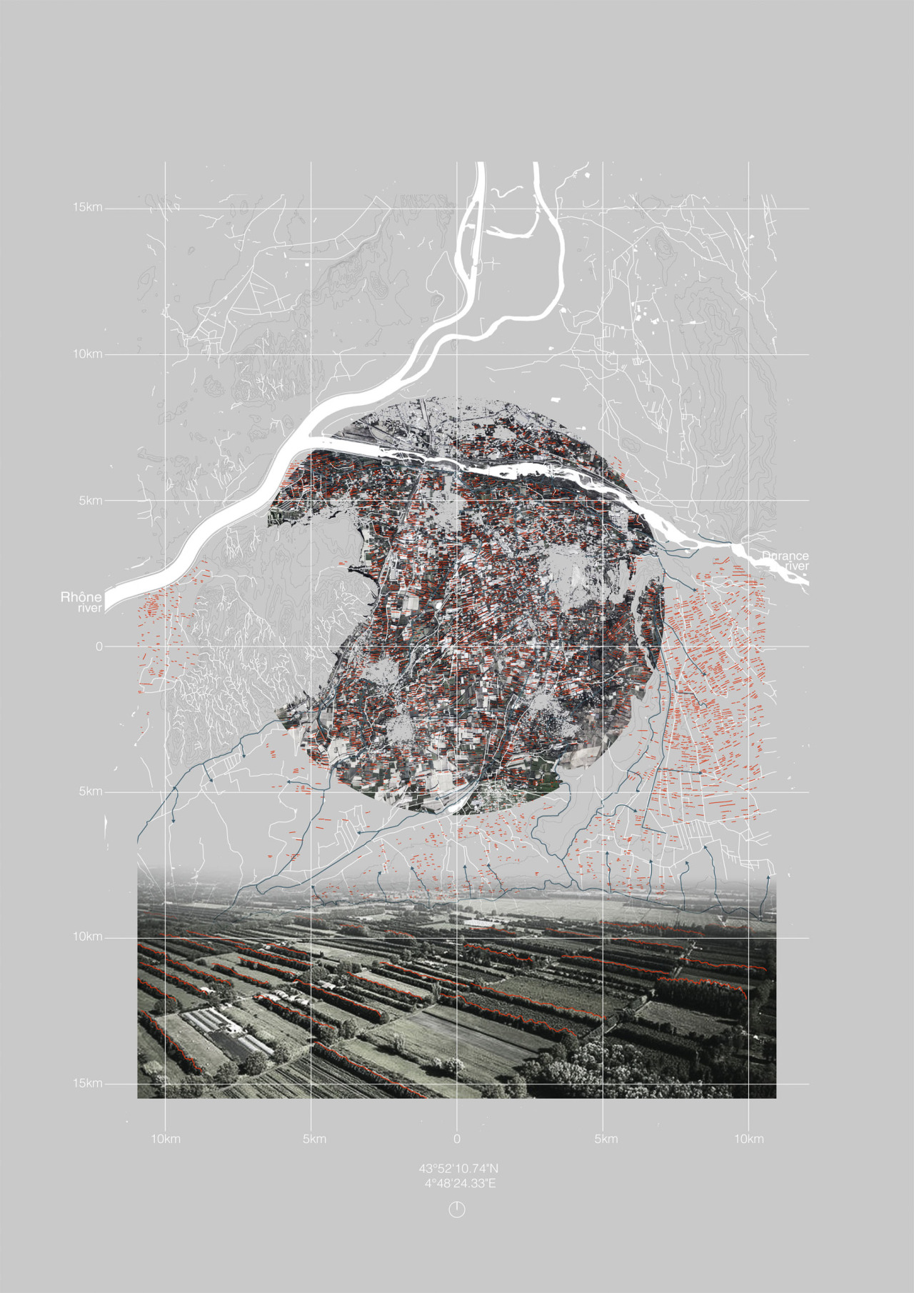
Geographic information systems (GIS) are designed to capture, store, manipulate, analyze, manage, and present spatial or geographic data.
Analysing and accessing geographic data is useful for us as Spatial Designers so we can understand environmental terrain/conditions/elevations/other variables then design and represent more accurately.
Geo-Locate on SketchUp
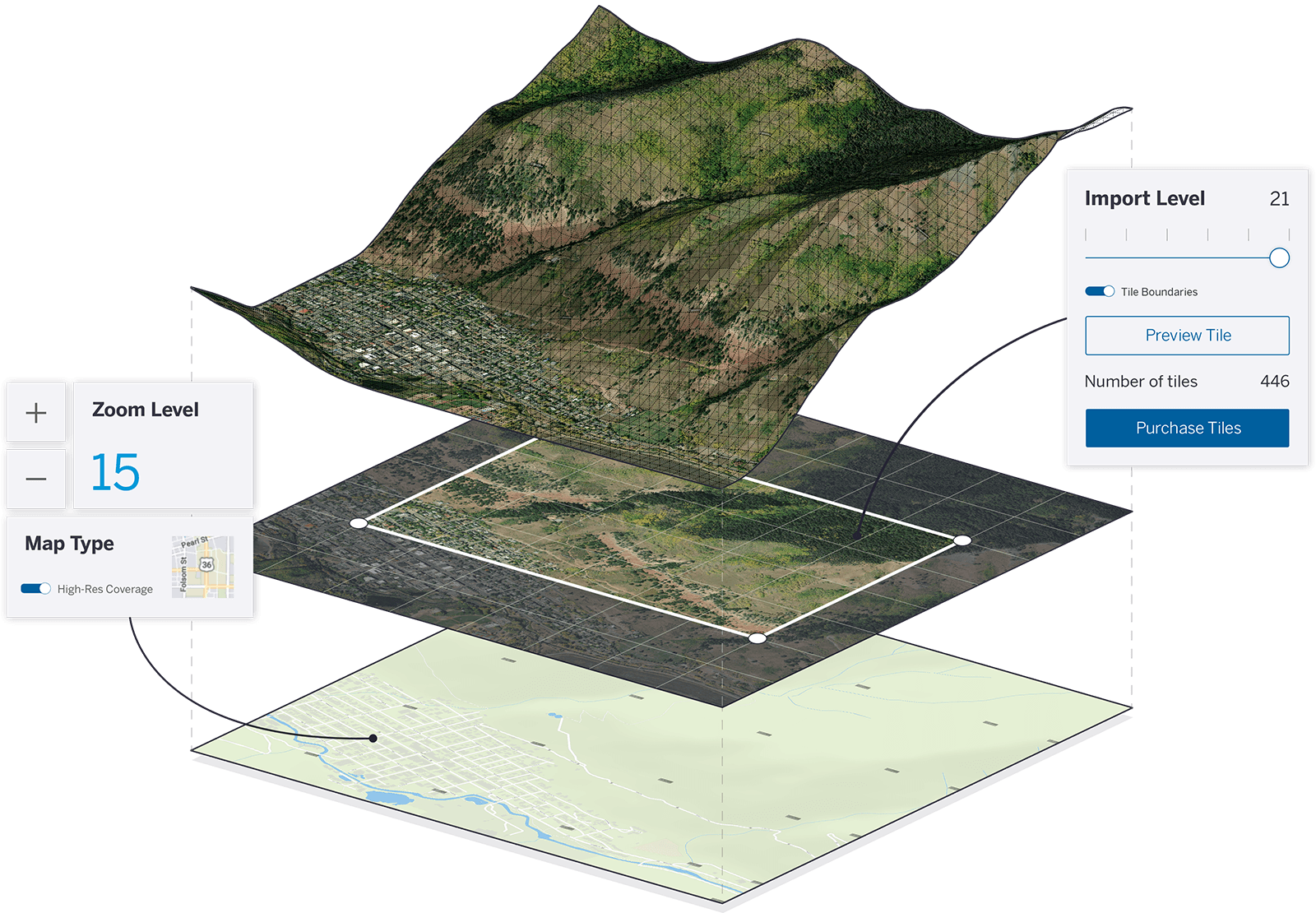
SketchUp offers a feature to geo-locate your site so that you can accurately show shadows, topography and orientation. See here for instructions.
GIS Software:
QGIS is a free and open-source cross-platform desktop geographic information system application that supports viewing, editing, and analysis of geospatial data. It is available on the studio PC’s. It is useful for understanding urban environments or city infrastructure planning analysis.
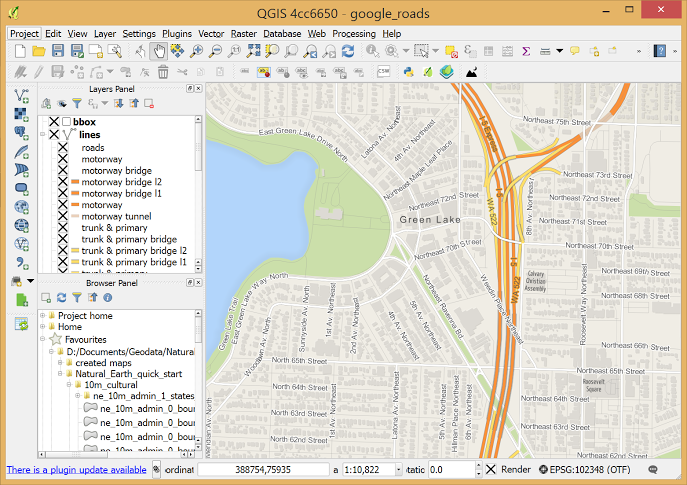
Visit the beginners guide to QGIS here.
Wellington-Specific GIS data:
The Wellington City Council has a lot of open source data about the city including spatial mapping, land contours, infrastructure, 3D street models etc.
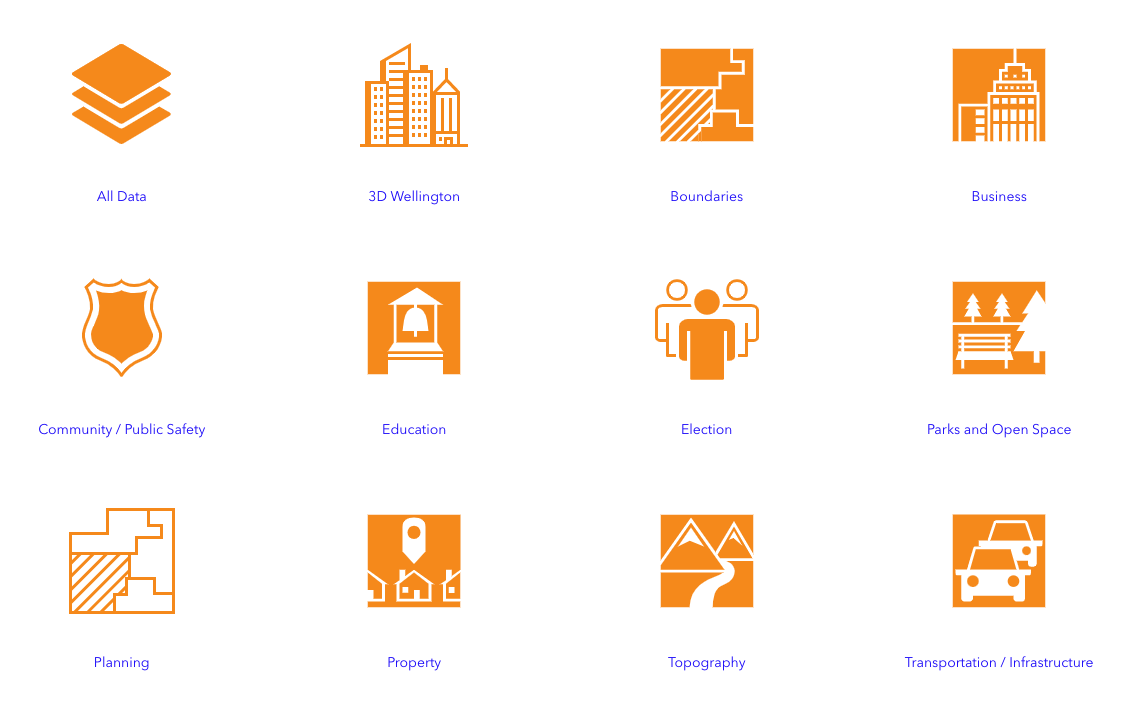
Visit WCC Open Data Portal here.
Other helpful Wellington GIS and Mapping Data sites:
Wellington Terrain Contours download (can download as a CAD file and important into SketchUp)
LINZ Data Service (for ariel data)
3D Wellington Street Data Sets
MapBox
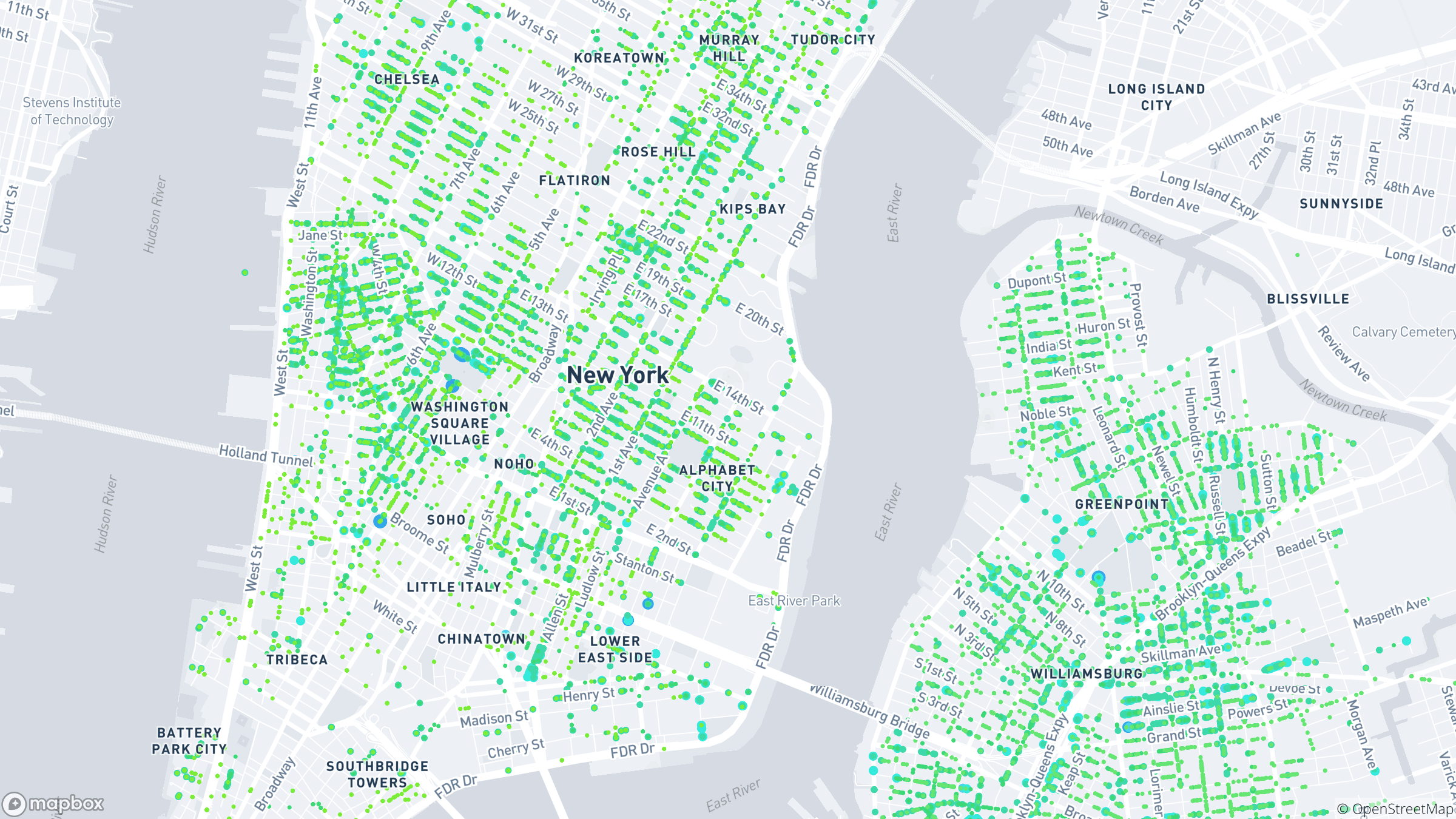
MapBox is an online mapping service which allows you to develop and download custom live maps in visual styles that suit your project. Ideal for masterplanning. Visit MapBox here.


Last modified: January 13, 2021